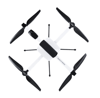
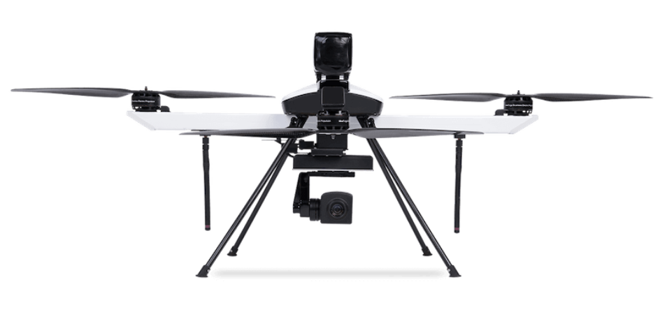
Overview

Q6 is our small category UAV and can be used for surveying and mapping. Its quadcopter design and high area coverage enable it to complete large-scale mapping projects quicker than our other UAVs.

Technical specification

Endurance 60 Min at MSL
Range 10 Kms
Max Altitude for deployment 3000Mtrs
Max Height 500 Mtrs AGL
Optical 1280x780 Pixel, 10X Zoom
Thermal 320x240,640x480
Thermal Radiometric 640x480 Pixel
GPS Multiple
Return to Home in High Winds, Low Battery, Comm Failure Conditions

Features

Endurance (MSL)

Up to 60 min

Range (LoS)

Up to 10 kms

Max Launch Altitude (AMSL)

Up to 3000 m

Weight

< 3.5 kg

Contact Us

Find our product interesting ? don't hesitate to calling us, we are here for you.